
Mapping Services
GIC provides modelling and analysis of coordinates with management tools and services that we have a wide variety of, including sensors, systems, devices and technology to collect and acquire the spatial data. Our team of professionals uses different GIS systems and services to tailor the surveyed spatial data to meet your specific needs. No job is too big for us!
Services
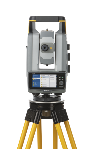
GIC provide a wide variety of land surveying services for public- and private-sector clients. From construction layout of high-rise steel structures to 3-D laser scanning, we perform comprehensive surveying services for commercial and residential developments, buildings, highways, bridges, utilities, waterways and property acquisitions. Our experienced staff of land surveyors utilize state-of-the-art equipment and practical innovation to reduce survey costs and expedite the completion of projects, while maintaining a superior product for our clients.
We consistently apply unique approaches using the latest technologies to provide quality and timely services, no matter the size of the project. Our licensed professionals and skilled technicians serve a diverse client base that includes state and federal agencies, transportation departments, local governments, utility companies, developers and private organizations and contractors.
GIC offers clients a detailed understanding of regional regulatory requirements and market conditions. Field personnel frequently travel and are available for a wide range of project assignments.
Services include:
-Boundary Surveys
-Topographic Surveys
-Geodetic Control Surveys
-Oil/Gas Well Location Pad Layout Surveys
-As-Built Surveys
-Engineering Surveys
-Construction Stakeout
-Hydrographic Surveys
-Infrastructure Layout
-Wetland Surveys
-Stream Restoration Surveys
-Utility Designation & Location
-Right-of-Way Determination
-Subdivision Computations.
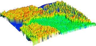
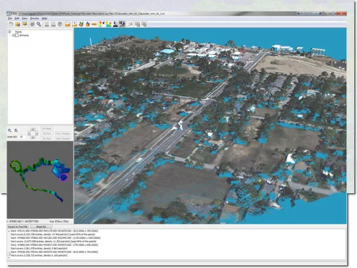
GIC composes of highly skilled professionals that provide high-resolution UAV Photogrammetric solutions with geometric accuracy up to 1cm in X,Y and 3 cm in Z. This not only complement existing terrestrial equipment and surveys, it also expands the various data outputs and improves the quality of the project. Our derived products go through a barrage of quality control procedures designed to ensure efficient and accurate deliverables such as 3D Point clouds, Orthomosaics, DTM and DSM.
Area Coverage
Linear corridor mapping:
Each drone covers (6-10) km per day.
Polygonal mapping:
Each drone covers (1.5-1.9) Sqm / (3.8-4.9) Sqkm (960-1216) acres per day.
Drone Trainings Programs
Based on the existing well-trained certified Drone pilots and experienced staff. We extend drone training programs to our clients and the general Public.
Our curriculum is well designed and approved by certifying bodies, this encompasses of the necessary requirements needed to complete a specific project in the fields of Surveying and Geomatics.
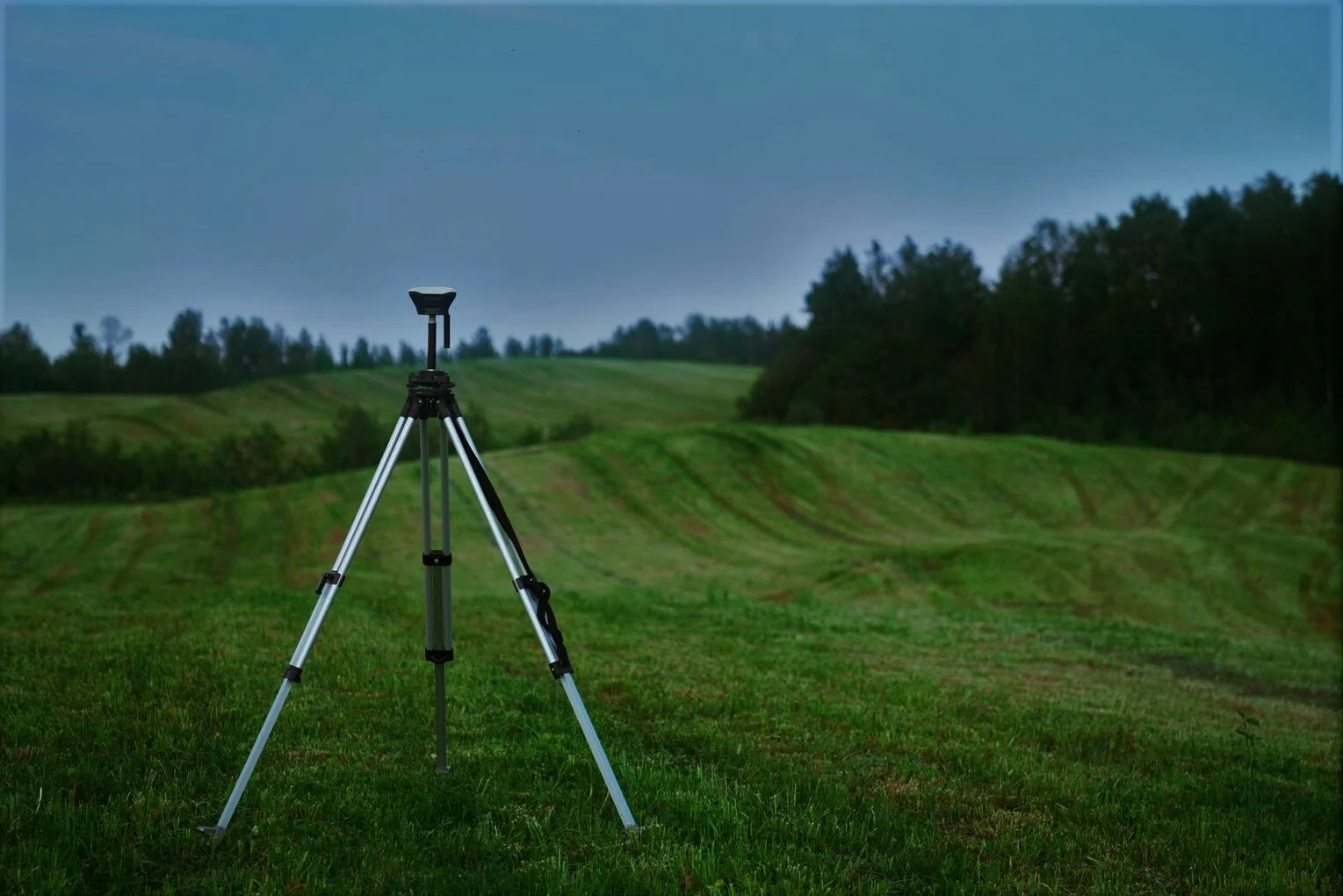
Monitoring of movement in bedrock and the earth's crust for using Continuous Observation Station (CORS) Services to determine and predict shifts and displacements in the earth’s structures. Over an internet connection, GIC collects data of a specific location to determine positioning and other services, together with various GIS supporting tools.
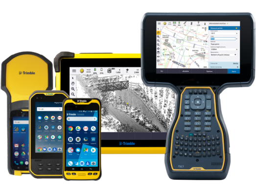
Using navigation, surveying GPS receivers and GIS software, our skilled professionals collect geospatial data using mobile devices with GNSS, LiDAR or other remote sensing systems. The information collected is sent to servers for data collection outside the field to create fast and efficient GIS Systems for multiple purposes and suited for the targeted users.
GIC has a team of skilled professionals that create static and dynamic maps to suit your specifications and requirements. They undertake mapping, data collection and cleaning that leads to graphical representation of geographic information to offer the best and easier way of disseminating information. Whether it is for internal use or for an important presentation, GIC provides every solution.
We offer a range of image processing and remote sensing services aimed at giving our clients the details they need for their projects from satellite imagery. When dealing with images with state-of-the-art Remote Sensing software, our professionals use skills of image processing to extract meaning and interpretation from the spatial relationships of data.
Fill up the form below to request for a quotation of your desired product or
send an inquiry about your desired product and we'll get
back to you as
soon as possible. Thank you!