
Optron/Trimble Products
OPTRON supplies advanced positioning solutions, which assist in maximizing the user’s productivity and over-all profitability by revolutionizing their work processes. OPTRON supplies and supports products in most countries across sub-Saharan Africa, directly and indirectly with the assistance of a select network of re-sellers and agents. Our solutions integrate a wide range of positioning technologies including GPS, laser, optical and inertial technologies, coupled with the latest application software and wireless communication technologies.
Products
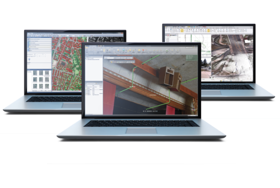
Trimble Business Centre
Trimble Business Centre (TBC) has a range of tools for processing controls, running traverse adjustments, and combining all data sources including GNSS, Level and total station measurements. TBC uses Robust calculations including least squares adjustments within the processing engine to make network adjustments accurate.
Trimble Business Center's field-to-finish survey CAD software helps surveyors deliver high-accuracy GNSS data, create CAD deliverables, and leverage full data traceability throughout a project's lifecycle.
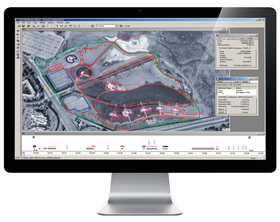
Trimble GPS Path finder
This is a powerful and easy to use software package of GNSS postprocessing tools, designed to develop GIS Information that is consistent, reliable, and accurate from GNSS data collected in the field.
Key Features:
Differential corrections to improve the quality of GNSS data collected in the field, Quality control of GNSS data before exporting to GIS, Sophisticated data dictionary editor to ensure consistency between the field and office.
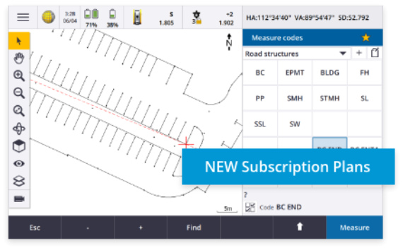
Trimble Access
Trimble Access is designed to support everyday work, including topographic surveys, staking out, control, and more. Trimble access offers an easy-to-use interface that will ensure your instant productivity. Feature-Rich graphical COGO routines for calculating points and features. Graphical staking of points, lines, arcs, and alignment from active maps.
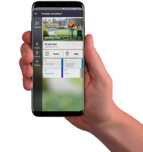
Trimble Terraflex
This is a new software and service platform to manage data collection activities for everyday geospatial projects. Trimble TerraFlex is a cloud subscription-based solution for mobile geospatial data collection.
The software suite comprises mobile and cloud components that allow you to collect, process, and manage your data.
TerraSync
This Software designed for fast and efficient field GIS data collection and maintenance.
Integrating all the ways you collect data-with a GNSS handheld computer, laser rangefinder, or centimeter-grade equipment-it's a powerful system for the collection of high-quality feature and position data for GIS update and maintenance.
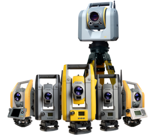
Total Station
GIC Provides Trimble Land surveying equipment and total station solutions to meet your optical and conventional surveying needs.
Surveyors around the world trust Trimble's high-performance total station surveying solutions to maximize productivity today while offering scalability to adapt to future challenges and opportunities. Streamline your workflows and deliver maximum quality with precision optics and robotics, innovative product training, and our in-field support services.
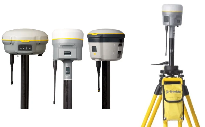
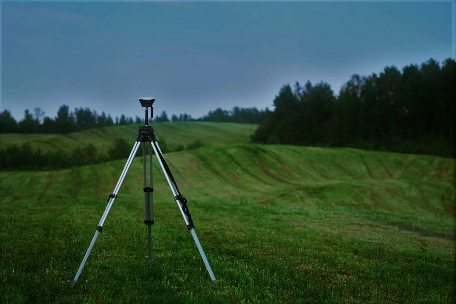
GNSS
GNSS solutions designed with the surveyor in mind. Backed by a legacy of GNSS technology leadership and surveying expertise, GIC provides surveyors and GIS professionals with reliable, innovative Trimble GNSS survey solutions that meet their distinct requirements. For more than 30 years, Trimble has set the standard for positioning technologies, and intends to continue that tradition well into the future.
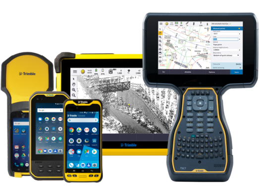
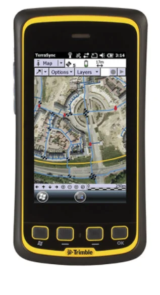
Data Collectors
Whether you need a fully integrated GNSS handheld for GIS data collection and maintenance, or a field controller to pair with your GNSS receiver and total station for survey work, GIC has a range of high performing, rugged field devices that provide everything from centimeter accuracy to communications and more.
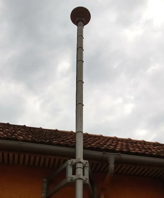
CORS Station
The Trimble® R9s GNSS receiver is designed to provide survey professionals with maximum features and flexibility.
The Trimble technologies provided in the Trimble R9s receiver are a unique and comprehensive combination.
-Advanced satellite tracking with Trimble 360 receiver technology
-Convenient front panel display and configuration
-Bluetooth®, Ethernet, serial and USB support
-Data logging internally and to external drive
-Multiple data file formats
-Trimble CenterPoint® RTX™ provides RTK level precision anywhere without the need for a base station or VRS network
-Trimble xFill® technology provides seamless RTK coverage during connection outages
Fill up the form below to request for a quotation of your desired product or
send an inquiry about your desired product and we'll get
back to you as
soon as possible. Thank you!