Projects(Clients with multiple projects)
Integrating Aerial Mapping and GIS
-To carry out drone surveys in designated areas supported by UWA
-To carry out land use and land cover mapping of Invasive - 2021.
Environmental Impact Assessment for the Degazettement of Pian-Upe Wildlife Reserve - 2004.
Environmental Impact Study for the Degazettement of Pian Upe Wildlife Reserve - 2004.
Design and Development of an agricultural Geoportal for MAAIF - 2018.
Design and Development of an agricultural Geoportal for MAAIF - 2015.
Supply of 2 ArcView 9.1 - 2006.
Drone imagery services - 2021.
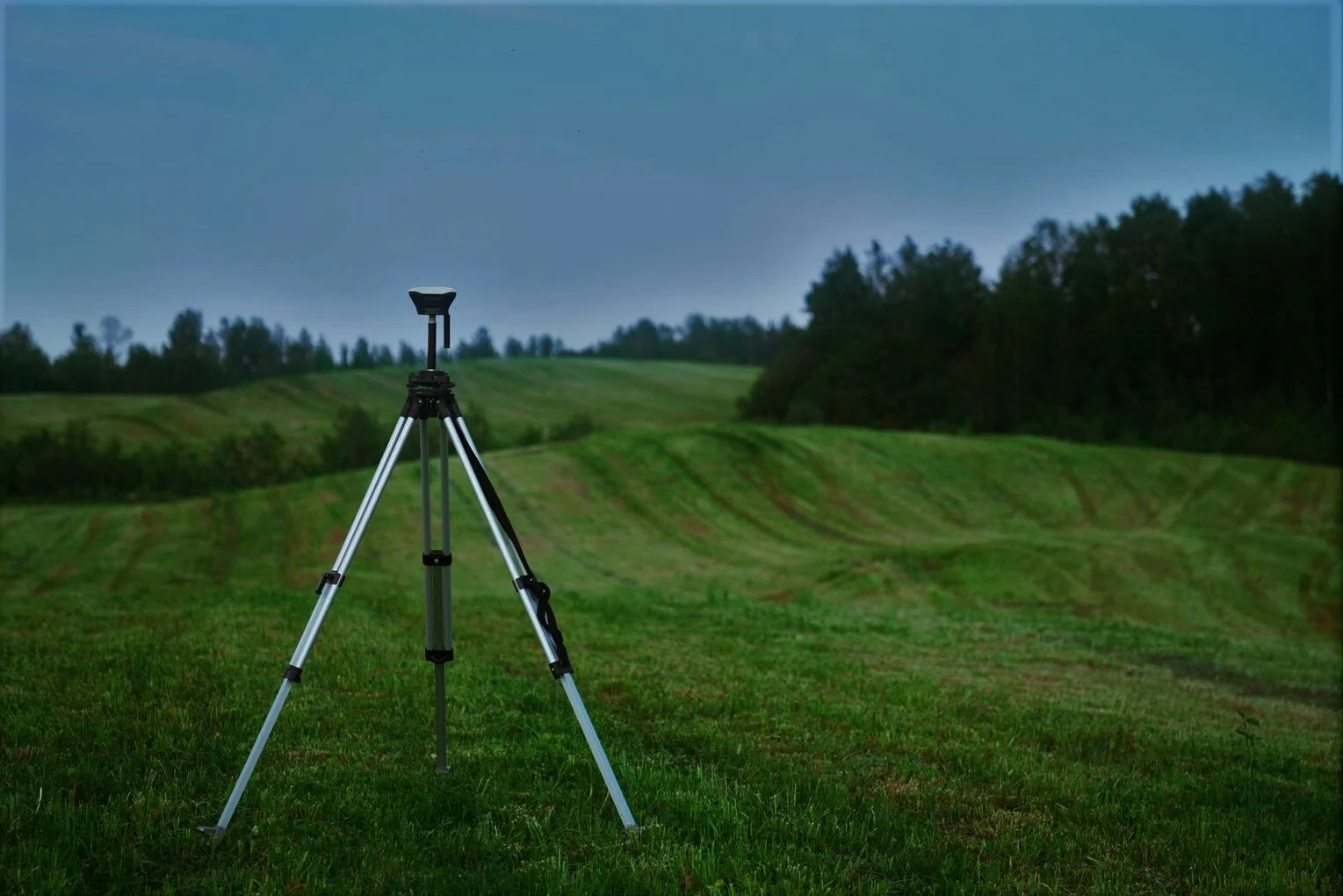
Supply of GNSS Receiver - 2021.
"Polygonization of Karuma – Lira Transmission Line corridor" - 2019
Consultancy Services for Developing a GIS System, Phase 2 - 2015.
Design, development and implementation of Geographical Information System - 2009.
Consultancy Services for Developing a GIS System, Phase 1 - 2008.
Supply of Esri Maintenance software
Supply of AutoCad Electrical - Retender
Consultation, Software and Hardware - 2012.
Upgrade of ArcGIS Software and Training - 2009.
Mapping of the JLOS Institutions Using Geographical Information Systems (GIS) Technology - 2012.
Consultancy service for Data Cleaning.
Mapping of the JLOS Institutions Using Geographical Information Systems (GIS) Technology - 2011.
Development of a Database for Sensitivity to Oil Spills in the Albertine Graben - 2009.
Consultancy to undertake capacity building of WWF staff in the use of GIS - 2008.
Needs Assessment and Evaluation of the Impact of training carried out in 2005.
Training of Staff of Lake Albert Eastern Catchment Initiative Project (LAECIP) and Rwenzori Mountains Conservation and Environment Management Project (RMCEMP) - 2005.
Mapping of 14 Sub-County and 64 Parishes in the Districts of Kasese, Bundibugyo and Kabarole - 2006.
Supply of GPS Mappers (Trimble TDC 100 4G) - July 2020.
Supply of GPS Mappers (Trimble TDC 100 4G) - February 2020.
Supply of GPS Mappers (Trimble TDC 100 4G) - 2019.
Supply of ArcGIS Server, Arc Editor and ArcView - 2007.
Customized Training - 2014.
Training in ArcGIS 1 & 2, Building Geodatabases and ArcServer - 2008.
Tilting the Land Acquired at Buhuka Parish i Kikuube District for the Kingfisher Development Project - 2022.
Provision of AUTOCAD software and AUTOCAD LT Commercial new single - 2019.
ARCGIS Software maintenance - 2018.
Satellite Imagery acquisition, processing and training of the staff in Remote Sensing (ENVI) - 2013.
Supply of AutoCAD Software - 2021.
Supply of ARGGIS Advanced Single- Each use primary maintenance ARCGIS Desktop standard single - 2019.
Supply, Delivery, and installation of GIS Software (Provision of ArcGIS License standard (concurrent use) KIIDP Project - 2017.
Provision of ArcGIS License standard (concurrent use) - 2017.
Supply and Delivery of Survey Equipment for Kitala-Gerenga Road Project (Total Station and Digital Level) - 2020.
Supply of Complete Set of Survey Equipment - 2019.
Supply of Complete Set of Survey Equipment - 2018.
Renewal of Licenses of the ARCGIS online system maintenance - 2018.
Supply of Online Solution for Geo statistical Visualization and dissemination Upgrade - 2017.
Consultancy Services for the production of JLOS Mapping Using Geographic Information System (GIS) Technology - 2012.
Supply of the latest 2016 satellite sub meter (0.5) resolution images for Kabale, Kachwekano, Mwendo and Lyantonde Lot 1 & 2 - 2017.
Supply of Quick bird Satellite Images - 2014.
Supply of latest 2016 high resolution images of Gayaza - 2017.
Supply of latest 2016 high resolution satellite images of Gayaza and Kyaliwajjala - 2017.
Supply of the latest 2016 satellite sub meter (0.5) resolution images for Kabale, Kachwekano, Mwendo and Lyantonde Lot 1 & 2 - 2017.
Supply of (0.5) mm satellite images of Mukono - 2016.
Supply of latest 2015satellite images for Buwenge - 2015.
Satellite images for Rukungiri, area size 377.1km2 - 2015.
Satellite images for Kabhwohe & Itendero, area size 285.00km2 - 2015.
Satellite images for Wobulenzi, area size 98.72km2 - 2016.
Satellite images for Kalisizo, area size 62.40km2 - 2015.
Satellite images for Luwero, area size 58.89km2 - 2015.
"Supply of 03No. Drones, 02No. Compatible IPADS, 01No. Floating Pix 4 Drone image processing software and 10No. Extra batteries" - 2020.
Supply of ArcGIS 9.2 software, Spatial Analyst Extension and ERDAS Imagine - 2008.
Supply of ArcGIS 9.3 Master Lab Kit & licenses - 2009.
Department of Paediatrics and Child Health/Baylor College of MedicineSupply of 1 ArcView 9.1 Lab Kit Packs - 2006.
ArcGIS and ArcPad Training - 2018.
GIS Training for GIZ Technical staff - 2017.
Provision of Training Services - 2018.
GIS Fundamentals using ARCGIS, Advanced GIS (Mapping and spatial analysis), mobile data collection using open data kit and KOBO Collect - 2018.
Jinja District Local Government - Customized Training - 2014.
Kabale District Local Government - Customized Training - 2014.
Soroti District Local Government - Customized Training - 2014.
Supply of ArcGIS 9.2 and training of 6 staff - 2008.
GIS training in ArcGIS II for Amnesty Commission - 2008.
Supply of ArcInfo and ArcSDE software - 2006.
Training of Staff in ArcGIS I and II - 2007.
Training of District Water Officers of Kabarole, Kamwenge, Kyenjojo and Kaperamaido in the use of ArcGIS, and production of operational manuals - 2007.
Training of Water Officers of Katakwi and Amuria districts in the Use of ArcGIS - 2006.
External Review of a Mapping report - 2007.
Training of Staff of Infectious Diseases Institute, Makerere University/Mulago Hospital - 2007.
Training in the use of GIS for NFA field staff - 2008.
Training of Sector Managers and Forest Supervisors in the use of Global Positioning System (GPS) at Jinja and Kyenjojo Sectors - 2005.
Mapping of selected areas in and around Kampala and Entebbe - 2007.
Mapping of Nalukolongo Industrial Site for Environmental Impact Assessment - 2005.

